Find Your Way.No Map Needed.
NAvSU is a real-time augmented reality navigation system for campus — guiding students, faculty, and visitors to any office, building, or department in seconds.
Built for a Campus.
Designed for Everyone.
NAvSU started as a thesis project at the Cavite State University - CCAT Campus — and grew into a full augmented-reality navigation system used by students, visitors, and faculty alike.
We mapped every path, junction, and building so that no one ever has to wander the campus lost again.
See all features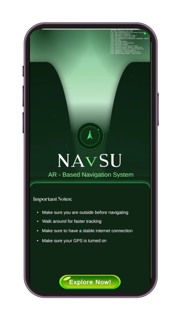
Everything You Need to
Navigate Campus Life.
From AR overlays to admin node management — NAvSU is a complete campus wayfinding ecosystem.
AR Navigation
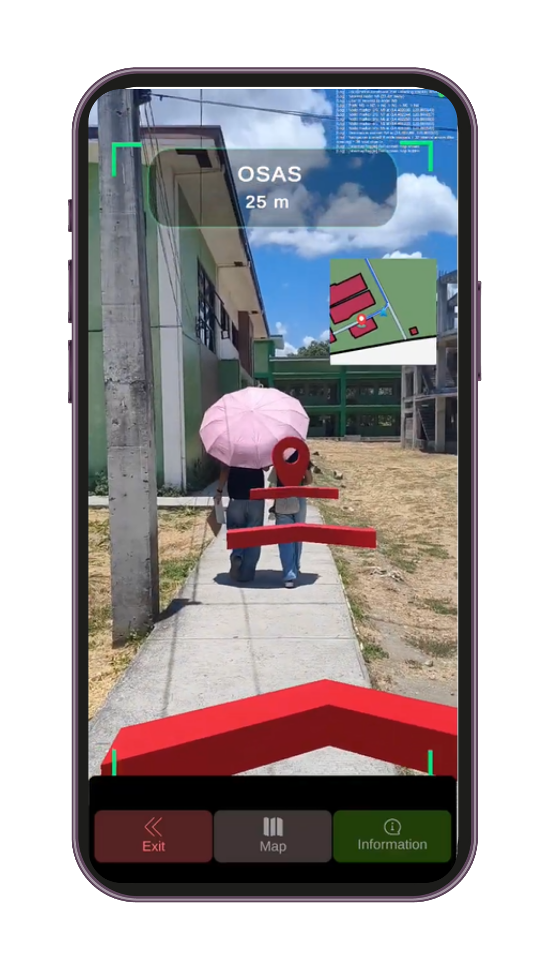
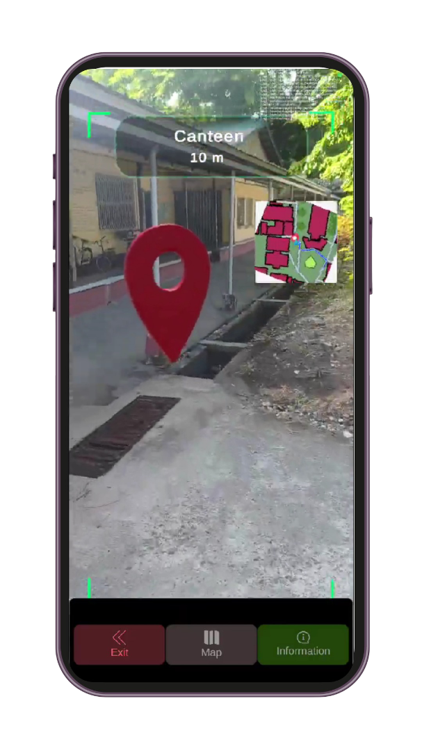
Point your phone and follow AR waypoints directly to your destination — no typing required.
Interactive Campus Map
A live graph of all 46 campus nodes, 47 paths, and 20+ buildings — searchable and zoomable.
Office Directory
Every office, department, and facility is mapped to a specific AR node for instant lookup.
Real-Time Updates
Admins can reassign nodes, update office locations, and publish changes instantly via the dashboard.
Admin Dashboard
A full office-to-node management system — with status tracking, publish controls, and edit history.
46 Navigation Nodes
Dense node coverage means accurate routing across every corner of campus — no dead zones.
Three steps to never
getting lost again.
Simple enough for a first-year student. Accurate enough for a visitor on day one.
Scan
Open NAvSU on your phone and point it at the campus entrance to initialize the AR overlay.
Navigate
Follow the AR path overlaid on your camera view — turn-by-turn, node by node.
Arrive
Reach any office, building, or department in seconds — no wandering, no asking around.
The Campus at a Glance.
Every node. Every path. Every building — visualized in one interactive graph.
Have a question
about NAvSU?
Want to deploy it at your campus? Found a bug? Have a suggestion? We'd love to hear from you.
The Team Behind NAvSU

Karl Cyrus S. Geron
NAvSU'sFull-stack Developer
Jhon Rhey G. Valleramos
NAvSU'sBackend Developer